Arafura Swamp Indigenous Protected Area (IPA)
Image credit: © David Hancock
The centrepiece of ASRAC’s 1.4 million-hectare IPA is a vast, pristine wetland. Known to Traditional Owners as Gurruwiling, the Arafura Swamp sits within a basin covering nearly 1000 square kilometres. Tall tropical forests, savanna woodlands and weathered sandstone plateau provide an elaborate mosaic across the surrounding catchment. Spring-feed waterways arising in the uplands feed into the swamp and in turn the sinuous Goyder River draining into Castlereagh Bay.
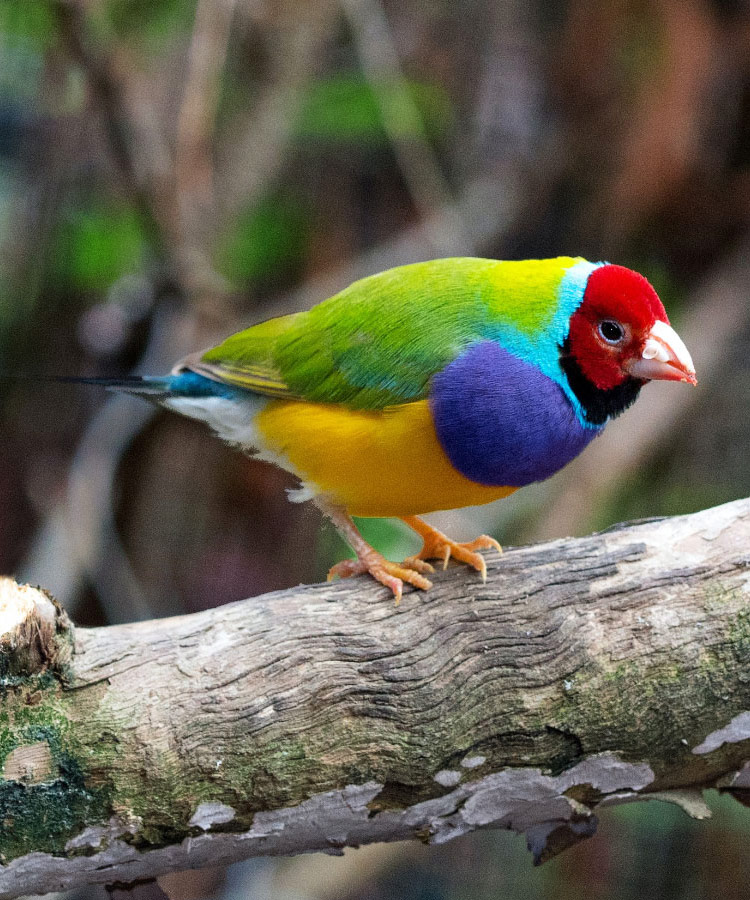
The greater Arafura Swamp region has some of the NT’s richest and most extensive rainforests, supports an abundance of threatened, rare, or little-known wildlife, and includes the major biogeographic corridor of the Mitchell and Parsons Ranges. Most of the catchment is listed on the Register of the National Estate while the central swamp is listed as a Wetland of National Importance. Twenty-seven nationally listed Threatened Species are known or predicted to occur in the proposed IPA including the Eastern Curlew, Northern Quoll, Northern Hopping-mouse, Gouldian Finch, and Masked Owl.
The entire Arafura Swamp area shares an unbroken history of Aboriginal ownership and management. Traditional connections to country remain largely intact and many landowners still reside on outstations, living from and protecting their ancestral estates. Beyond conservation, the Arafura Swamp IPA will deliver social and cultural benefits to remote Indigenous Australians including employment as land and sea rangers, support for language and cultural activities, protection of significant sites, and the preservation of traditional ecological knowledge.
ASRAC’s collaboration with Bush Heritage Australia on Healthy Country planning has been foundational to the success of the IPA. With support from Tamarind Planning, the ASRAC Healthy Country Plan has been adapted to meet IPA requirements, while the integrated Intercultural Monitoring, Evaluation, and Planning (IMEP) project will provide a framework for adaptive management and accountability.
Dedication of the Arafura Swamp IPA is imminent. Traditional Owner consultations have been undertaken, the boundary has been finalised, and shared management zones are in place with neighbouring Mimal, Djelk, Marthakal, South East Arnhem Land and Crocodile Islands IPAs. The project is waiting for endorsement by Northern Land Council and acceptance by the Australian Government.

Twenty-seven nationally listed Threatened Species are known or predicted to occur within the proposed IPA including the pictured Gouldian Finch.
Healthy Country Plan
We know that the land needs its people to care for it and to keep it healthy. In the same way we know that caring for the country keeps us healthy – physically, spiritually and mentally.